See the city take shape
Historic Maps
Explore selected maps, panoramas, and bird’s-eye views that show Shamokin changing from an early settlement into an industrial city.
A changing landscape
Read Shamokin from ridge to street
Each image captures a different kind of view. Panoramas and bird’s-eye pictures are especially useful for seeing patterns of growth, though they are not exact parcel maps.
Open the Historical Atlas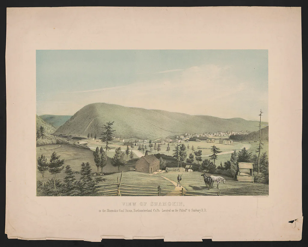
Early settlement · 1851–1857
Shamokin, 1851–1857
A wide view of the small settlement before Shamokin grew into a dense industrial city.
Water and valley · 1851
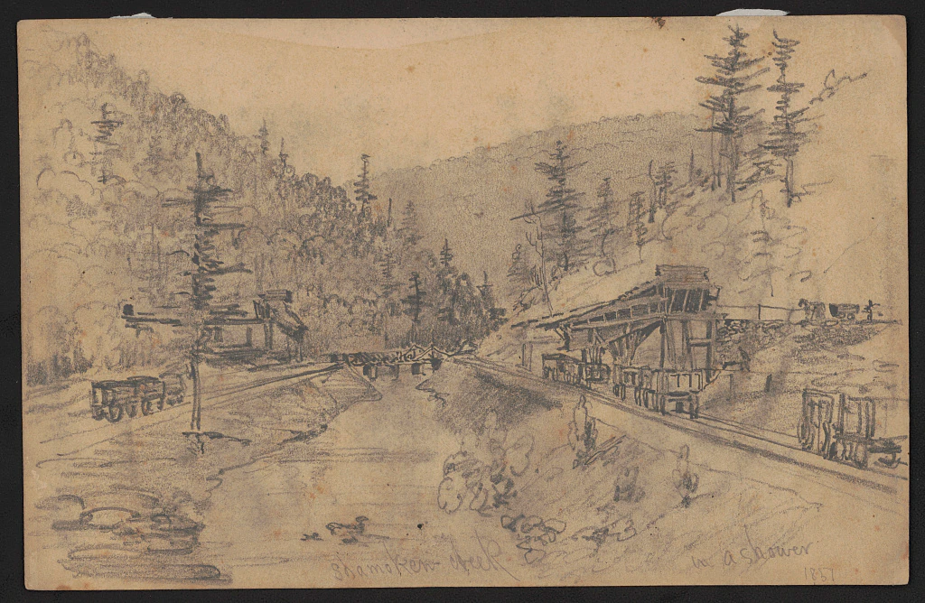
Shamokin Creek in 1851
An early view that places Shamokin Creek within the valley landscape.
Read the connected story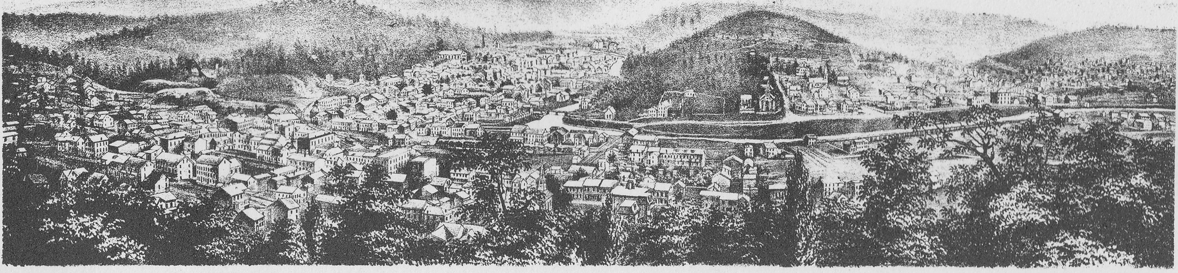
Growing borough · 1873
Shamokin panorama, 1873
A panoramic inset showing a community spreading beneath the surrounding ridges.
Read the connected story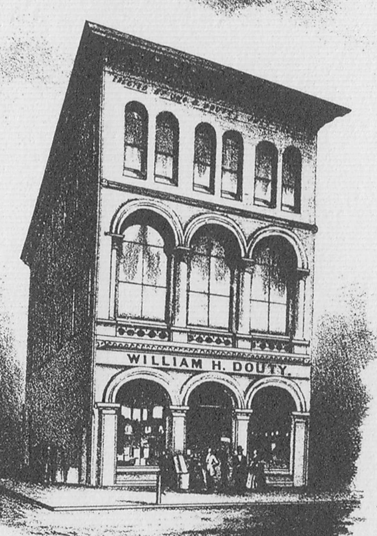
Downtown detail · 1873
William H. Douty’s Brown Stone Front, 1873
A close architectural view of William H. Douty’s Brown Stone Front.
Read the connected story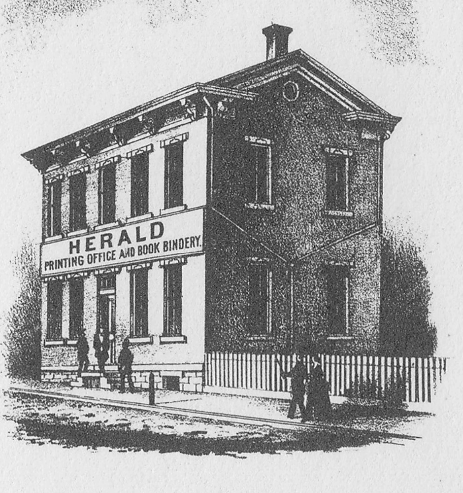
Printing and news · 1873
Shamokin Herald printing office, 1873
An architectural inset identifying the Shamokin Herald printing office and book bindery.
Read the connected story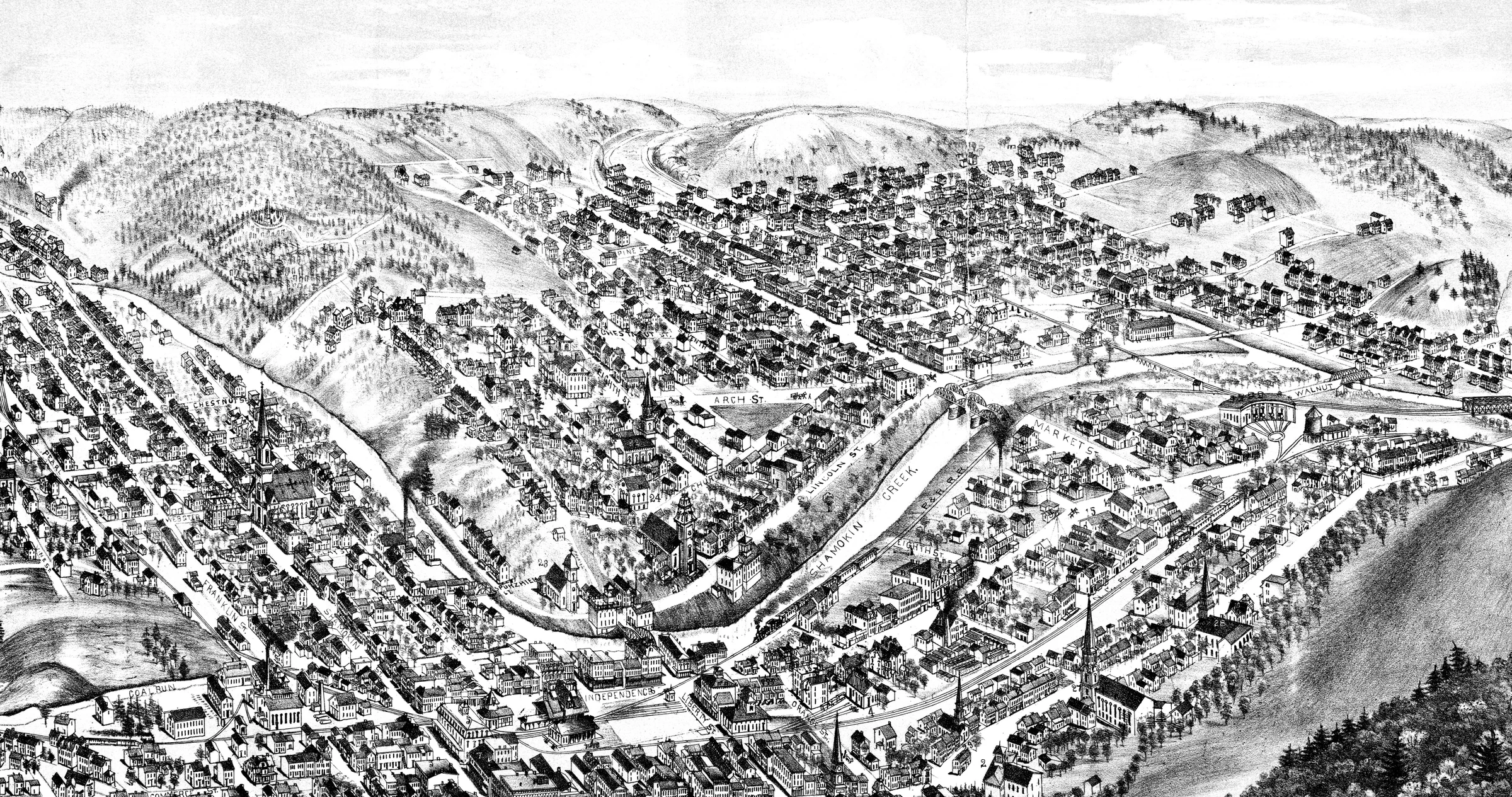
Industrial city · 1884
Shamokin’s built landscape in 1884
A bird’s-eye view of dense blocks, bridges, waterways, rail lines, churches, and hills.
Read the connected story