Story
Government & civic lifeFrom Coal Basin to Growing Borough
A printed coal-basin view, an 1873 borough map, an 1884 bird’s-eye image, and the arrival of public water service reveal how rail, streets, industry, and infrastructure shaped early Shamokin.
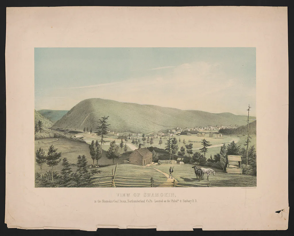
A Coal Basin Connected by Rail
A surviving nineteenth-century view identifies the Shamokin Coal Basin together with the Philadelphia and Sunbury Railroad. The caption establishes that geographic and transportation relationship, while the scene’s exact year remains within the cataloged 1851–1857 range rather than a single proven date.
The Borough on Paper in 1873
An 1873 map identifies the Borough of Shamokin and its publisher, O. M. Fowler. It records a period street plan and the borough’s developed form at that moment, but its historic linework is not treated as survey-grade modern geometry.
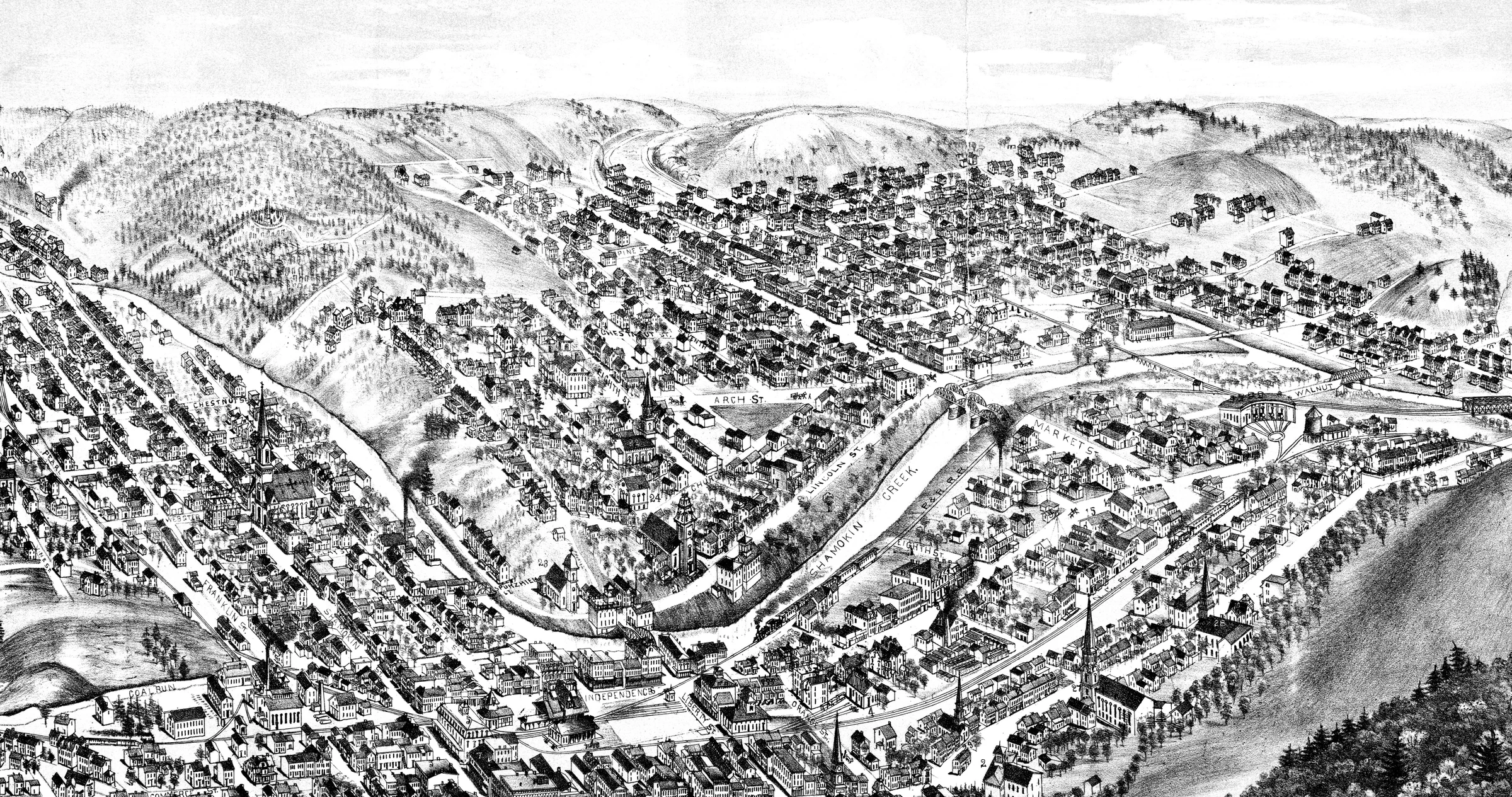
A Pictorial City in 1884
The explicitly dated 1884 bird’s-eye view shows a much denser built landscape of streets, roofs, industrial buildings, and transportation corridors. Because it is a pictorial perspective, it is best read as a picture of growth rather than as a parcel-accurate map.
Water as Public Infrastructure
Shamokin Water Company was incorporated on August 5, 1872, and the history places the beginning of public water service in 1873. Earlier and later water efforts formed part of a longer infrastructure story, so this account does not label any one system as Shamokin’s first.
How 1939 Retold the Town’s Beginning
The Diamond Jubilee booklet connected Jesse Major, John C. Boyd, Ziba Bird, and surveyor Kimber Cleaver with land ownership, settlement, and the 1835 town plan. The account is retained as a commemorative interpretation, while uncertain etymology and tradition remain qualified.
Image gallery
Open any image to view the full-size photograph or document.