Buildings block by block
Sanborn Maps
Explore selected Sanborn map details that illuminate Shamokin’s buildings, industries, streets, and rail connections.
Selected details
A closer look at the built city
These fire-insurance maps recorded structures and uses at specific moments. This museum page presents individual details connected to public stories, not complete sheets or a page-by-page viewer.
Browse more Historic Maps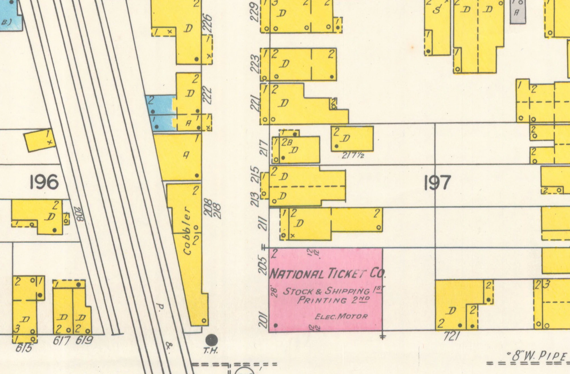
Industrial detail · 1929
National Ticket Company plant on the 1929 Sanborn map
A selected map detail showing the National Ticket Company plant beside railroad tracks.
Read the connected story