Buildings block by block
Sanborn Maps · 1929
July 1929 · 45 pages. Shamokin; includes parts of Coal Township and the cataloged surrounding communities.
Choose a page to enlarge it. Use the map’s printed street index and key to find a block and understand its building colors and symbols.
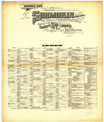 Title and index
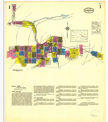 Sheet 1
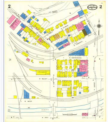 Sheet 2
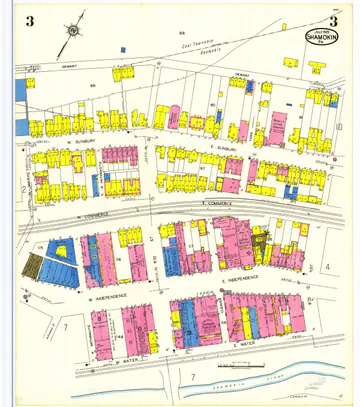 Sheet 3
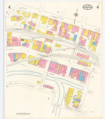 Sheet 4
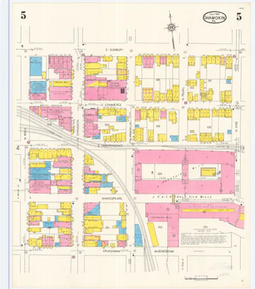 Sheet 5
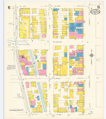 Sheet 6
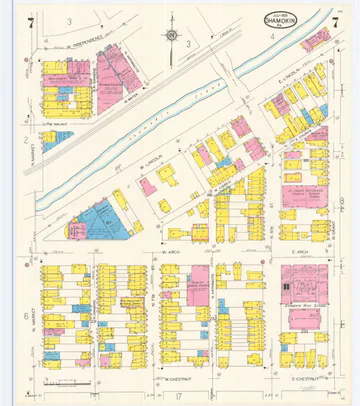 Sheet 7
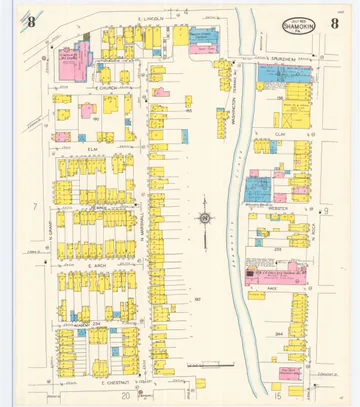 Sheet 8
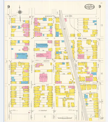 Sheet 9
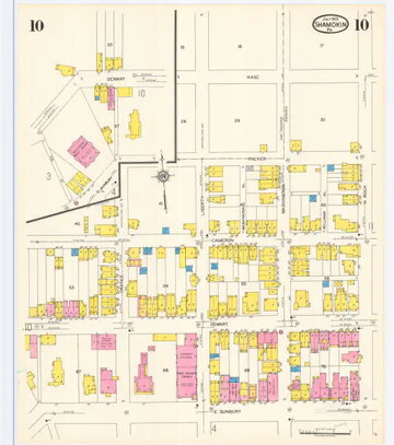 Sheet 10
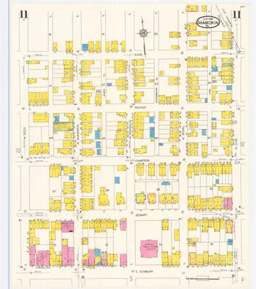 Sheet 11
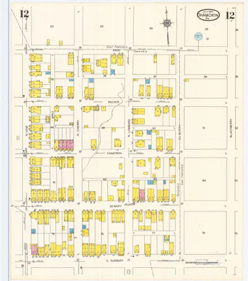 Sheet 12
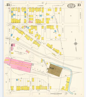 Sheet 13
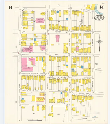 Sheet 14
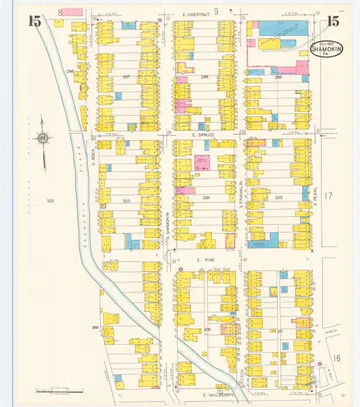 Sheet 15
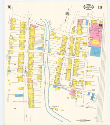 Sheet 16
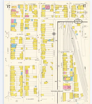 Sheet 17
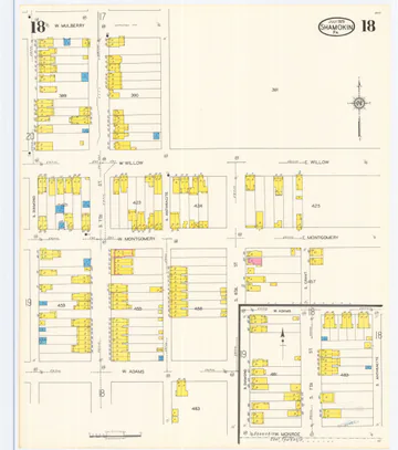 Sheet 18
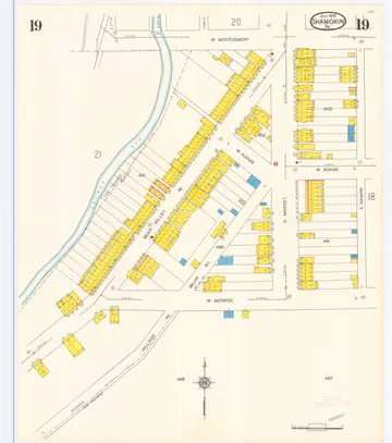 Sheet 19
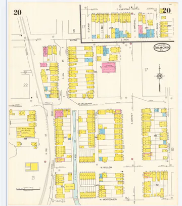 Sheet 20
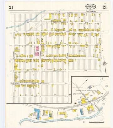 Sheet 21
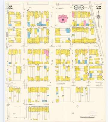 Sheet 22
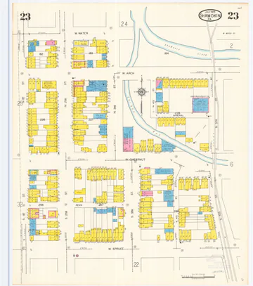 Sheet 23
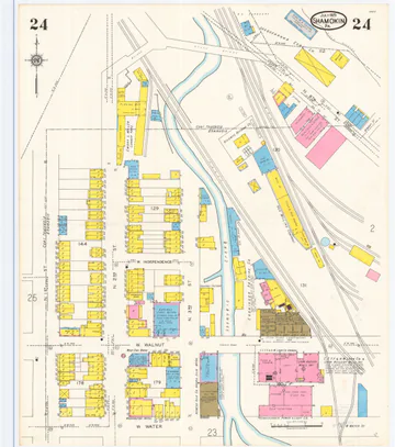 Sheet 24
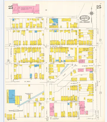 Sheet 25
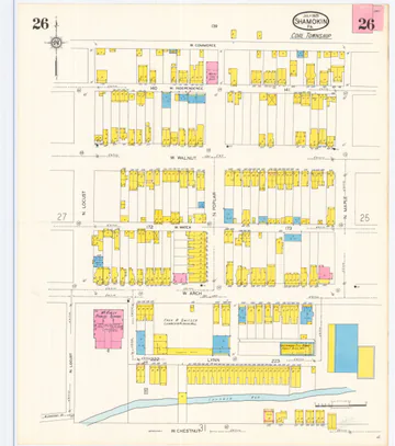 Sheet 26
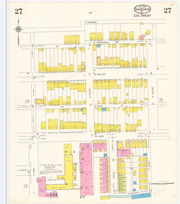 Sheet 27
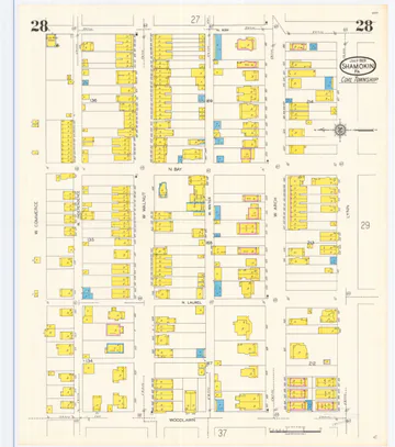 Sheet 28
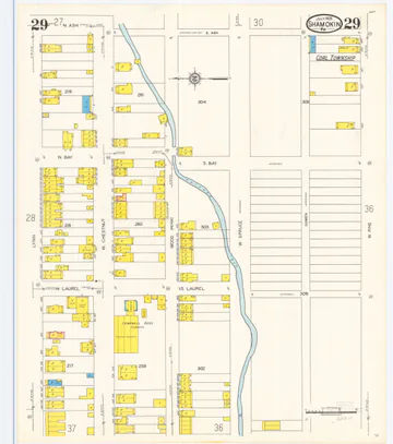 Sheet 29
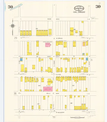 Sheet 30
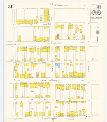 Sheet 31
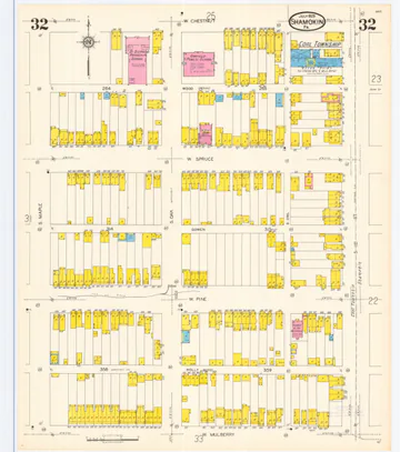 Sheet 32
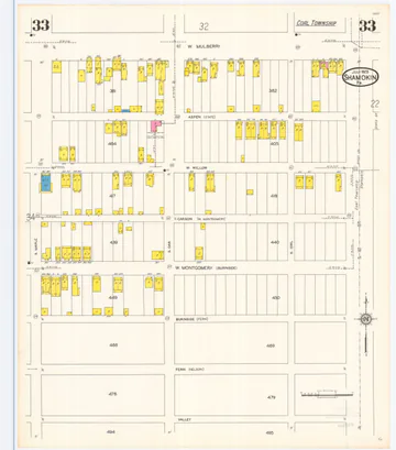 Sheet 33
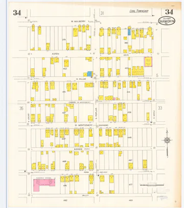 Sheet 34
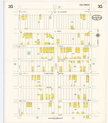 Sheet 35
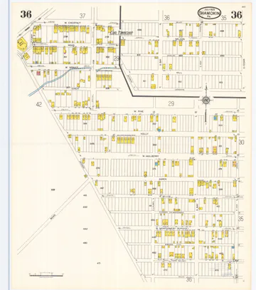 Sheet 36
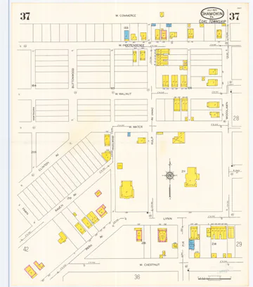 Sheet 37
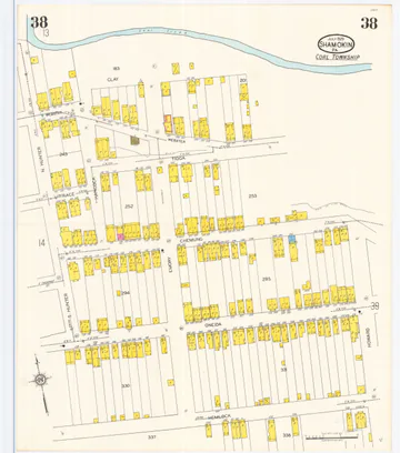 Sheet 38
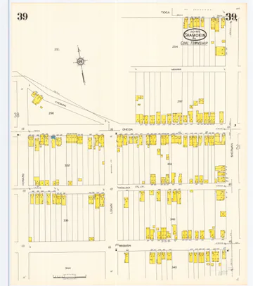 Sheet 39
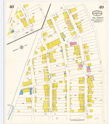 Sheet 40
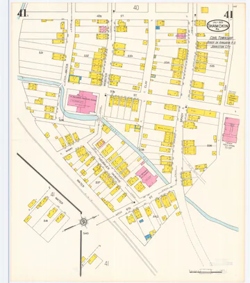 Sheet 41
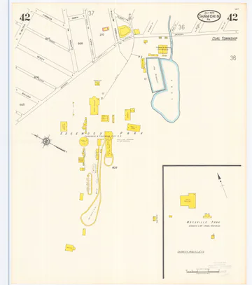 Sheet 42
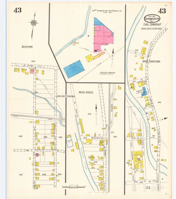 Sheet 43
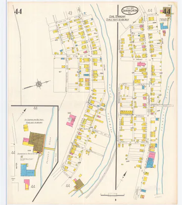 Sheet 44
Penn State University Libraries, Digital Map Drawer.