Story
Community & everyday lifeReading Shamokin’s Downtown
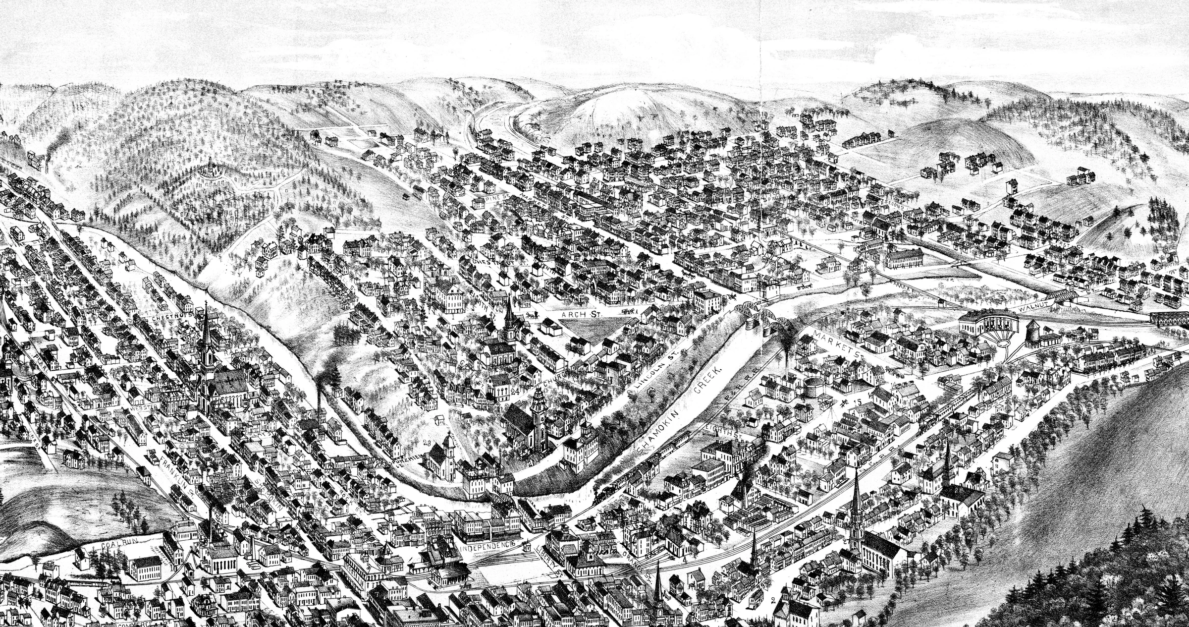
An 1873 borough plan, an 1884 bird’s-eye view, fire-insurance mapping, and present-day planning records let visitors read downtown Shamokin as a changing landscape of commerce, civic life, industry, and reuse.
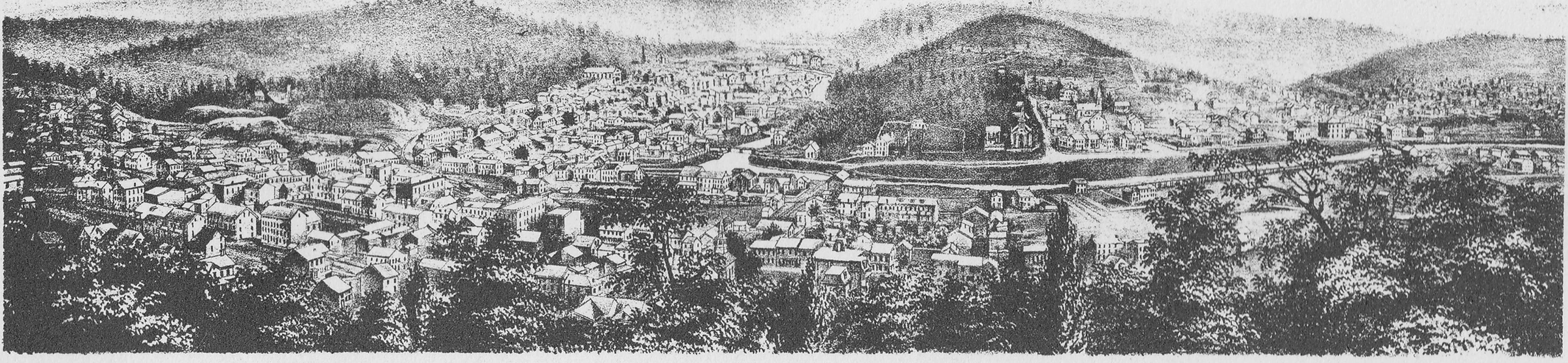
From Borough Plan to Bird’s-Eye View
The 1873 borough map records an early street framework, while the explicitly dated 1884 bird’s-eye view depicts a denser pictorial city. Read together, they show growth in form and scale, though neither image is treated as modern parcel geometry.
A Downtown Recorded Building by Building
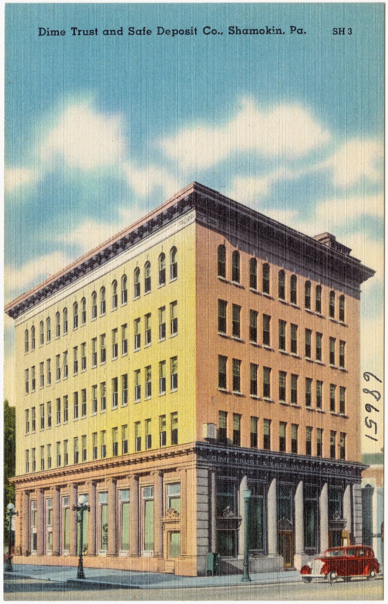
The 1913 fire-insurance map set records footprints, construction materials, uses, streets, tracks, and close building relationships. It captures downtown as a working system of stores, hotels, civic buildings, factories, theaters, and transportation rather than a list of isolated landmarks.
Historic Character as a Living Resource
The GoShamokin plan treats older buildings, public space, local business activity, and downtown identity as practical resources for revitalization. Reading the city today therefore means noticing what survives, what has changed, and how historic structures can support new uses.
Image gallery
Open any image to view the full-size photograph or document.