Story
Railroads & transportationRailroads and the Shape of Shamokin
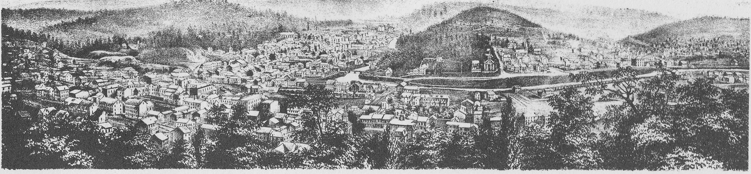
Historic views and maps show railroads as part of Shamokin’s physical growth, linking the coal basin to larger markets while tracks, depots, streets, and later streetcars shared the working city.
The Coal Basin and the Railroad
A surviving view names both the Shamokin Coal Basin and the Philadelphia and Sunbury Railroad in its printed caption. That direct pairing documents the relationship without requiring an invented route, timetable, or exact image date.
A Rail Landscape by 1873
The 1873 borough map places transportation corridors within Shamokin’s street and waterway setting. It helps explain how the borough developed around movement and industry, while its historical drawing remains separate from modern survey coordinates.
Tracks Within the Built City
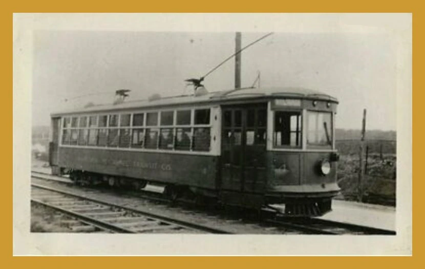
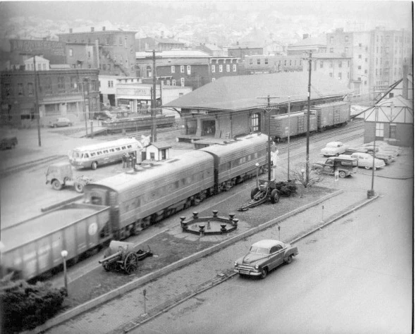
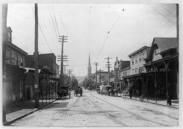
Later fire-insurance mapping records tracks, depots, sidings, industrial buildings, and nearby streets at a documented moment. Together with period photographs of stations, trolleys, and buses, these views show transportation changing over time without turning the website into an unsupported walking route.
Two Railroad Settings in 1908
The album separately identifies a Pennsylvania Railroad Station and a Reading Railroad curve near Eagle Run Brewery. Those captions document two transportation settings without supplying a complete corporate history or surveyed route.
Trolleys Through the Eagle Run Landscape
Trolley scenes near Weigh Scales and through woods at Eagle Run place electric street transport beside creek, road, railroad, and brewery landscapes. The precise track alignment remains uncertain.
Locomotives Remembered in the Jubilee Year
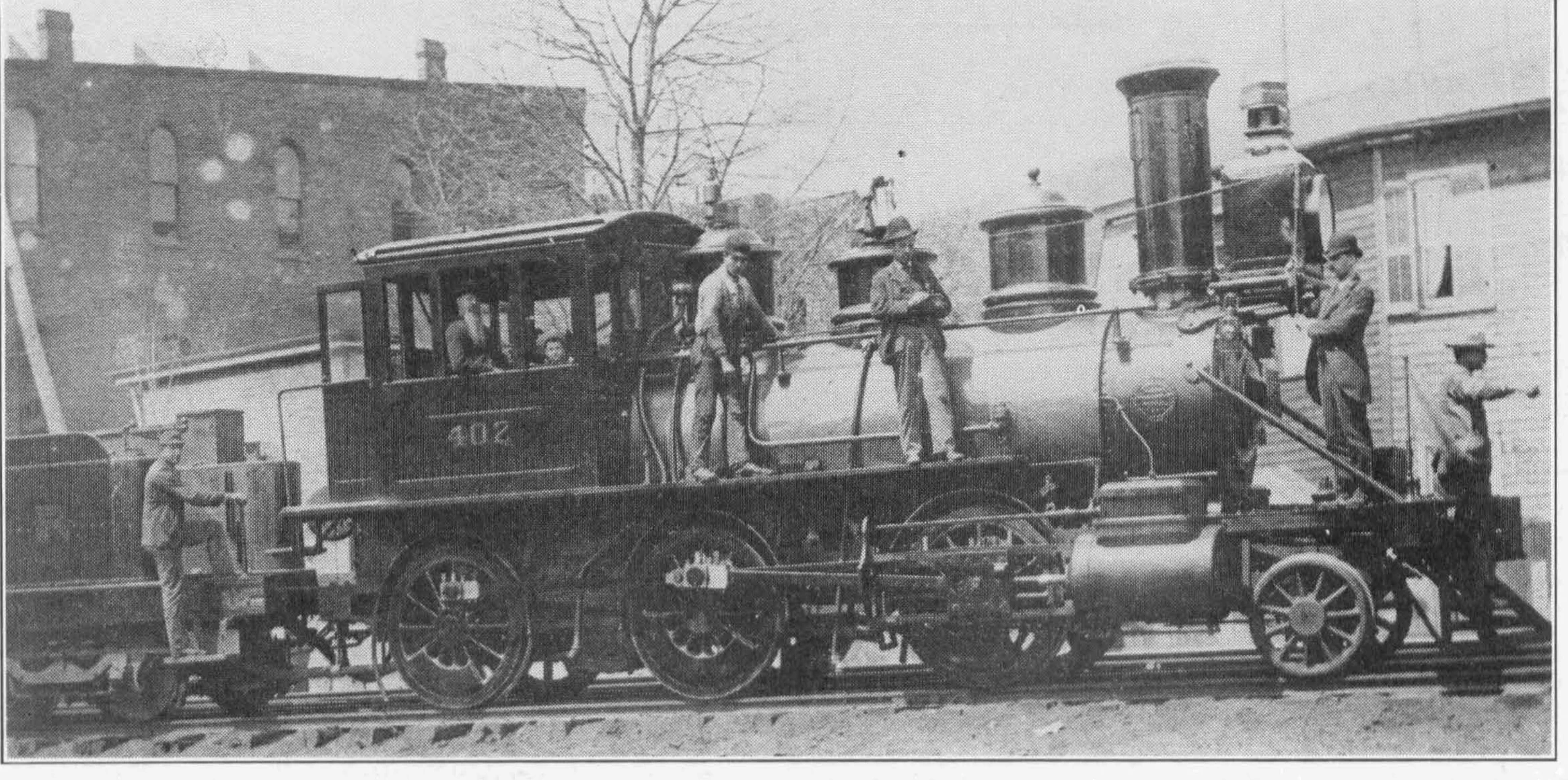
The 1939 account names the North Star and Mountaineer locomotives and recalls passenger cars, stations, freight workers, and competing railroad connections. Its prose adds historical context but does not supply new surveyed alignments.
Image gallery
Open any image to view the full-size photograph or document.