Fire-insurance maps · 1885–1929
The Sanborn Map Room
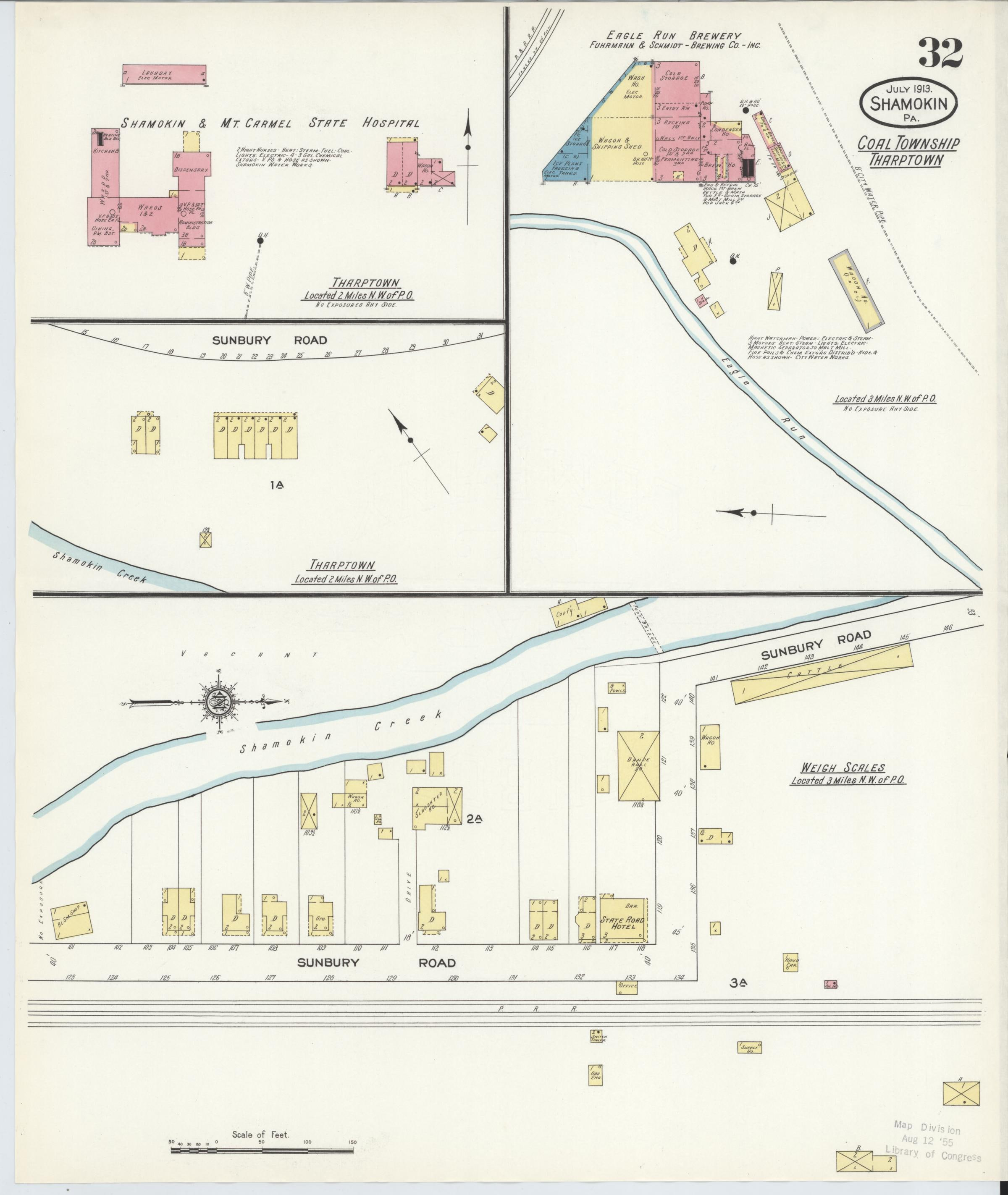
Explore Shamokin block by block across eight editions and 186 locally preserved pages. Read street names, building footprints, construction materials, industries, and printed notes in the historical sheets themselves.
Accessible historical map browser
July 1913 · Page 32
This complete linked Map Room remains available when the interactive viewer has not loaded or JavaScript is unavailable.